The U.S. eastern seaboard keeps a leery eye on Joaquin
Posted By RichC on October 2, 2015
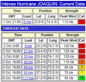
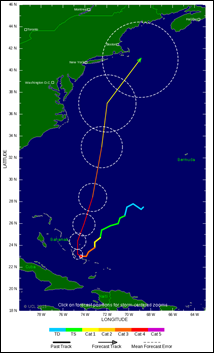
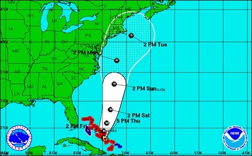
Projection are currently up and down the east coast of the United States (and offshore) for Hurricane Joaquin’s path, but most models have it turning north and gaining speed. As of posting this on October 1st, the storm is a category 4 and pounding the Bahamas with rain. It is moving slow and expected to reach peak wind intensity over the next couple of days. Hopefully it will remain offshore until it weakens (or forever), but many models have it coming ashore up near New Jersey and Long Island … triggering not so distant memories of Superstorm Sandy. Yikes!


Comments