Tech Friday, sort of: If you like geography, world history and maps – you will like this
Posted By RichC on February 28, 2020
Right-click and Save-as for a very interesting larger download version of this map
A new Brilliant Maps twitter feed is constantly sharing some very interesting mapping projects and this one was particularly intriguing. As a commenter posted, “obviously a map like this is going to disputed, but PisseGuri82 has gone to great lengths to explain his methodology.
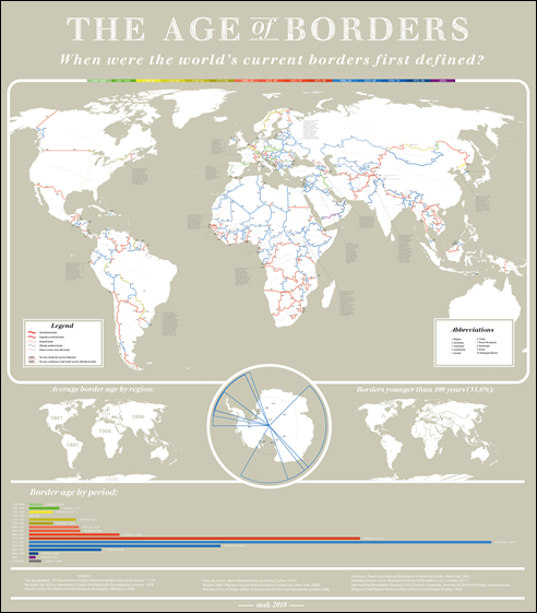
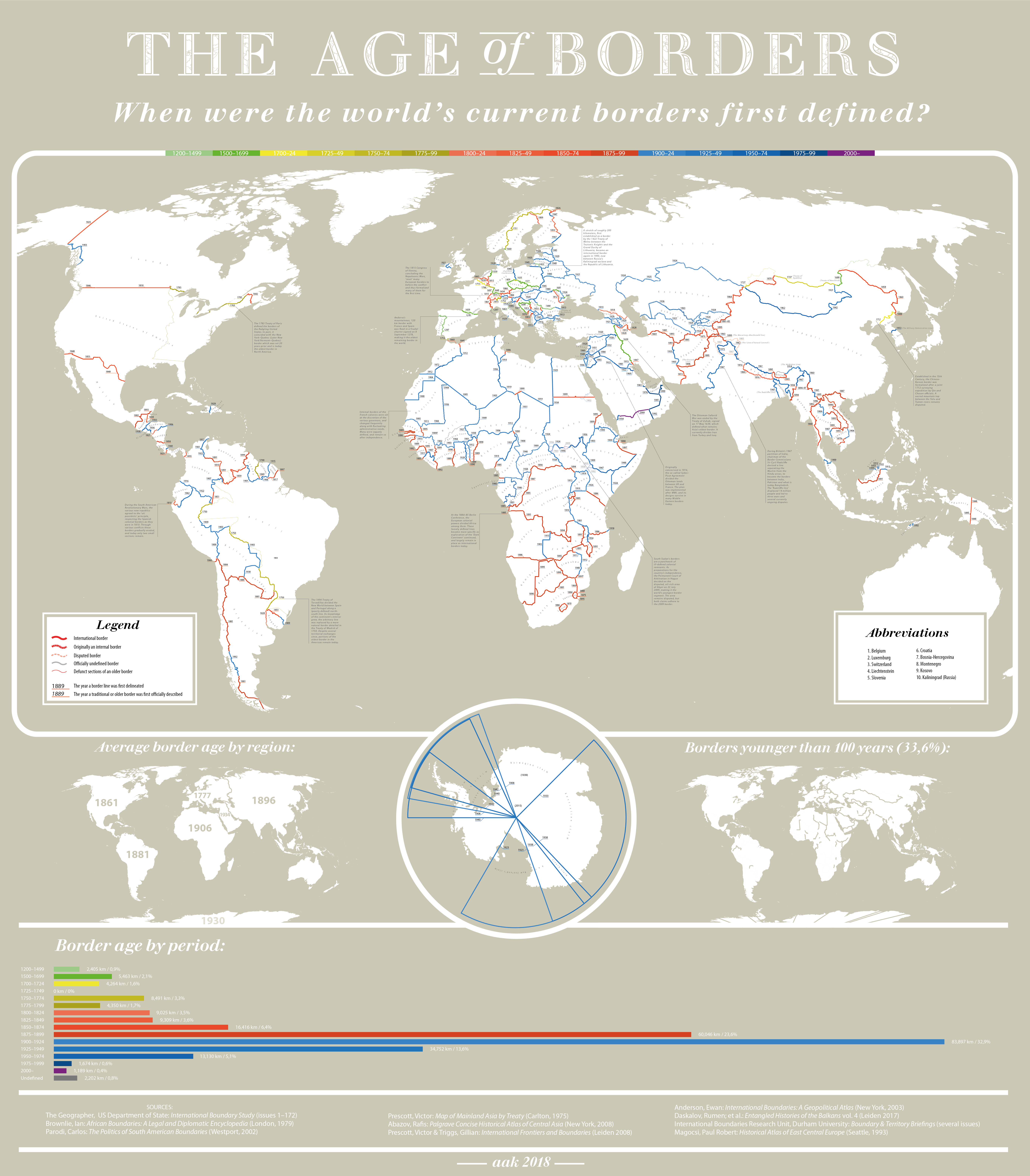
The map above is a stunning piece of work that shows the when each of the world’s international borders were first defined.
The world’s oldest border is Andorra’s 120km border with France and Spain which was fixed in a feudal charter signed on 8 September 1278.
The world’s youngest border segment is between South Sudan and Sudan, which was only decided in 2009, although it remains disputed.
But when were most of the world’s borders formed? By time period they are:
- 1200-1499: 2,405km (0.9%)
- 1500-1699: 5,463km (2.1%)
- 1700-1724: 4,264km (1.6%)
- 1725-1749: 0km (0%)
- 1750-1774: 8,491km (3.3%)
- 1775-1799: 4,350km (1.7%)
- 1800-1824: 9,025km (3.5%)
- 1825-1849: 9,309km (3.6%)
- 1850-1874: 16,416km (6.4%)
- 1875-1899: 60,046km (23.6%)
- 1900-1924: 83,897km (32.9%)
- 1925-1949: 34,752km (13.6%)
- 1950-1974: 13,130km (5.1%)
- 1975-1999: 1,674km (0.6%)
- 2000-today: 1,189km (0.4%)
- Undefined: 2,202km (0.8%)
Therefore, 52.2% of the world’s borders were set during the 20th century and a further 37.1% were set during the 19th century.
Comments